MultiSet AI Launches Map Versioning, Making Enterprise Spatial Maps a Living, Upgradeable Infrastructure Layer
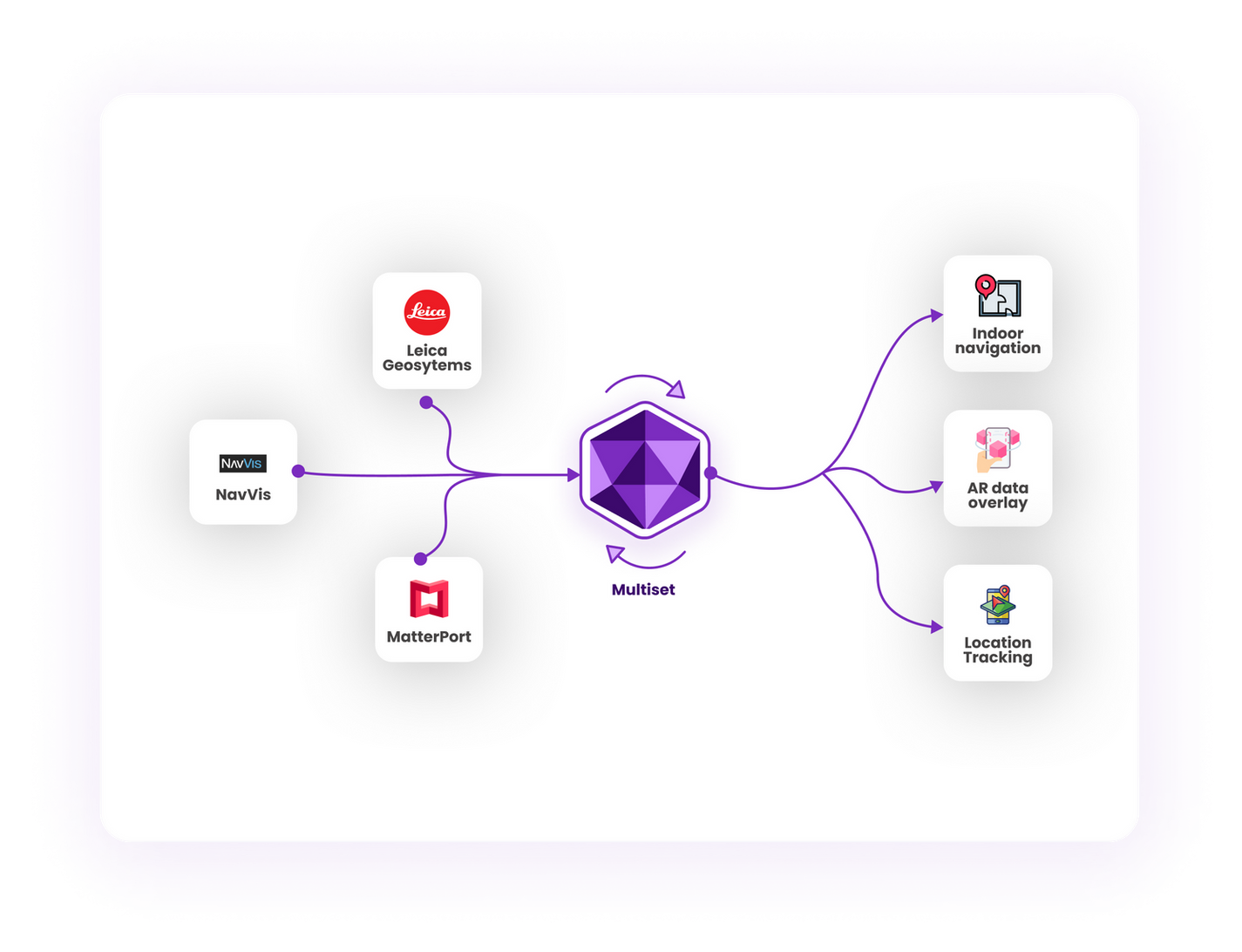
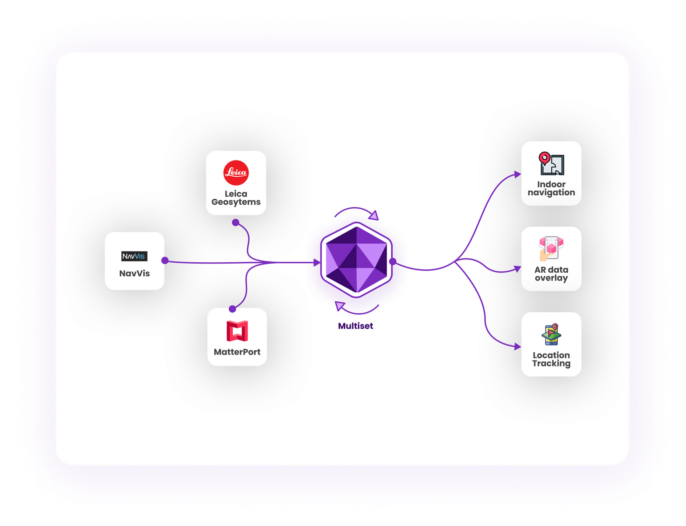
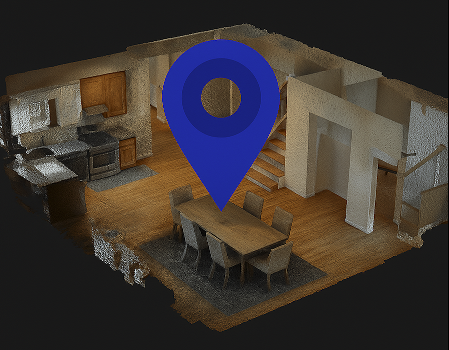
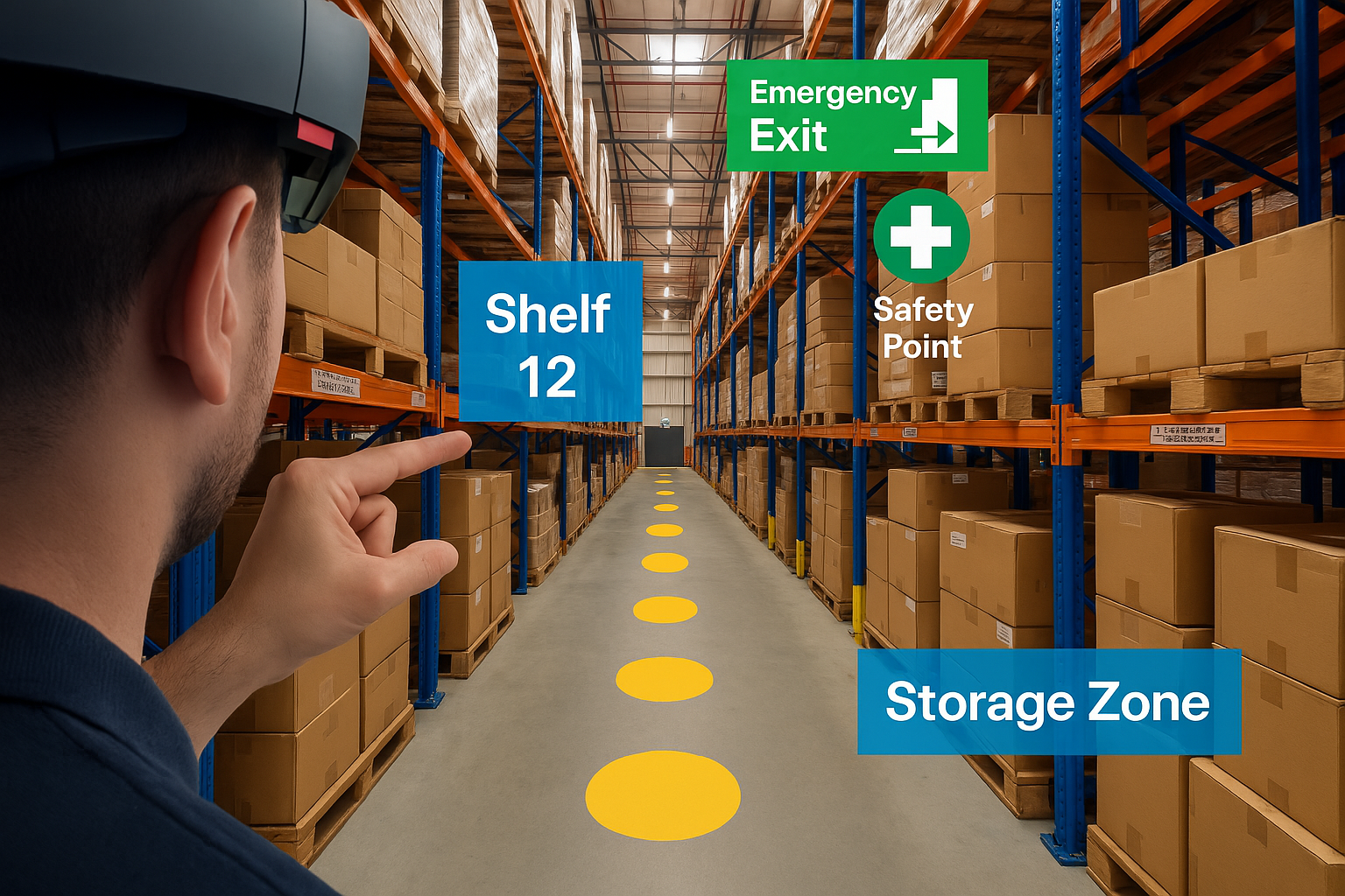
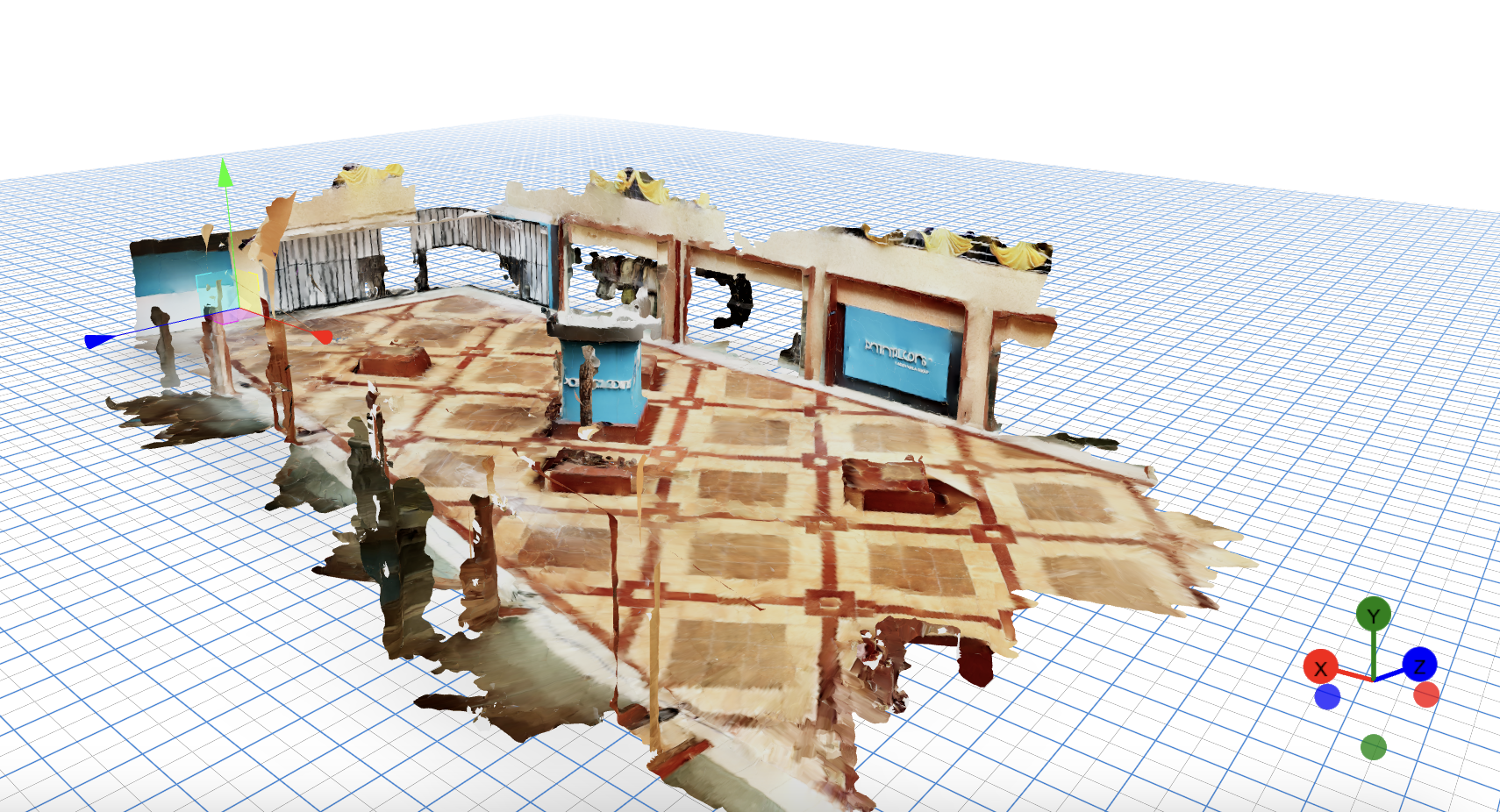
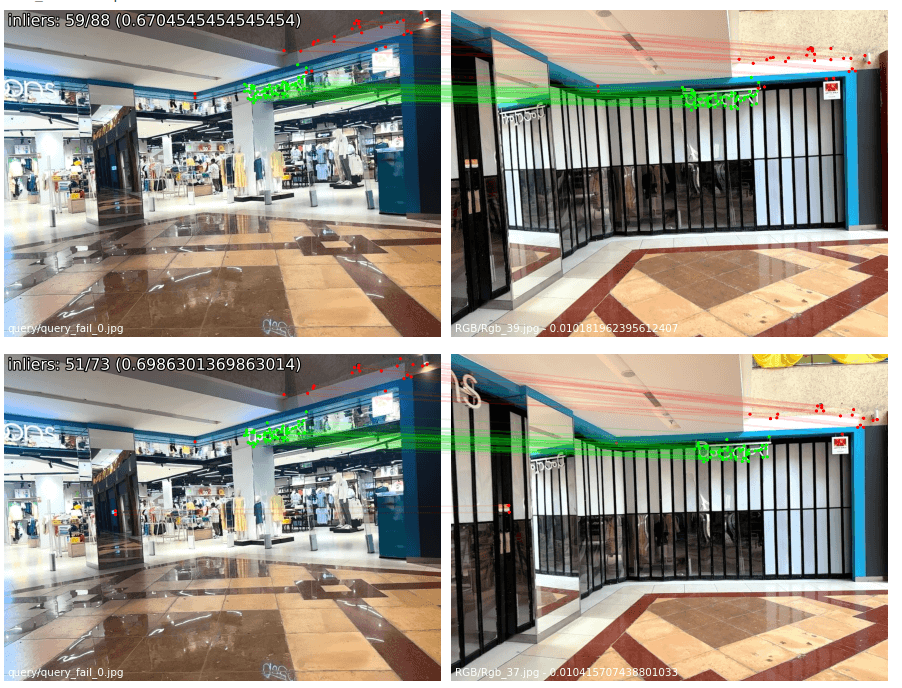
New capability lets operators, platforms, and builders refresh production maps over time with the same or different scanning hardware, without re-authoring anchors, navigation paths, or AR content.