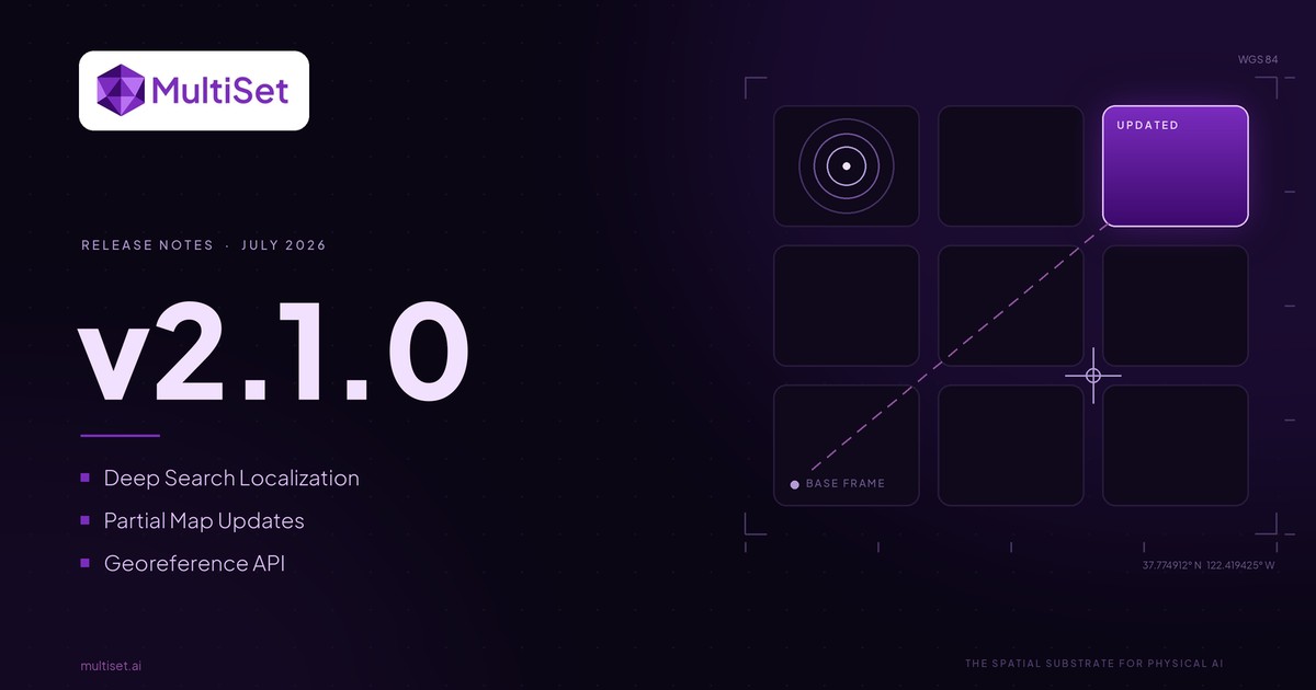
Press Release

SAN FRANCISCO, CA – MultiSet AI has launched the world's first 3D Gaussian Splatting (3DGS) to Visual Positioning System (VPS) integration. By enabling the upload of metric-scaled Gaussian Splats, MultiSet AI extends its foundational spatial computing infrastructure to support the rapid market adoption of explicit radiance fields, delivering centimeter-accurate, cross-platform AR maps with zero hardware lock-in.
3D Gaussian Splatting has officially shifted from an experimental research novelty to an enterprise rendering standard. With the 3DGS tools market projected to reach $7.19 billion by 2033, and authoritative consortiums like the Khronos Group advancing the KHR_gaussian_splatting glTF standard into its final release candidate stages in early 2026, industry adoption is accelerating exponentially. Enterprises are aggressively deploying 3DGS to bypass the massive computational overhead of Neural Radiance Fields (NeRFs) and the manual topology constraints of traditional mesh workflows. MultiSet’s new integration capitalizes on this momentum, providing the critical missing link: functional, real-world spatial localization from 3DGS assets.
This release represents a major expansion of MultiSet AI’s scan-agnostic capabilities. Building upon our robust, highly accurate localization pipeline for traditional geometric point clouds (E57, LAS) and triangulated meshes, the platform now seamlessly ingests explicit 3DGS primitives (.PLY).
Rather than replacing existing workflows, the integration of 3DGS augments MultiSet's proven spatial mapping infrastructure by natively combining extreme geometric accuracy with photorealistic fidelity. This unlocks new operational advantages for enterprises:
While universally hardware-agnostic, the pipeline officially launches with optimized support for the XGRIDS hardware ecosystem, including the PortalCam and Lixel K1/L2 Pro. By utilizing "Portability" mode during XGRIDS reconstruction, operators generate a strictly metric-scaled .ply output where one digital unit equals one physical meter. This deterministic scaling is critical for absolute real-world alignment and drift prevention.
The developer experience remains tightly integrated and friction-free:
.ply file and corresponding poses.json (containing timestamp, translation, and rotation camera trajectory data) into a single .zip archive via the MultiSet Developer Portal.MultiSet aligns natively with the trajectory of the spatial web. The platform fully supports impending industry standards, including the aforementioned Khronos glTF extension and the open-source SPZ compression format. Maps are immediately deployable across MultiSet's cross-platform SDKs, supporting Unity, WebXR, iOS, Android, Meta Quest, and ROS 2.
MultiSet AI provides the foundational spatial intelligence infrastructure for enterprise augmented reality. By delivering the world's most robust scan-agnostic Visual Positioning System, MultiSet enables organizations to build, self-host, and scale persistent AR experiences with uncompromising accuracy and full data sovereignty.