Bring any reality capture. We turn it into one live map every device can track.

MultiSet is the scan-agnostic positioning layer for Physical AI. Use the scanner you already own — or none at all. Deploy anywhere. No capture lock-in.

Every scanner. Every format. One map.

Most positioning systems make you capture the world their way. MultiSet doesn't. We accept the widest range of reality-capture formats in the industry and normalize them all into a single, live map — so you keep your hardware, your workflow, and your freedom to change either one.


Companies We Work With

Three ways to get a VPS map

Bring Any Scan
Use the scanner you already own. Laser scans, point clouds, 360 video, textured meshes, Gaussian splats — one pipeline turns them all into a VPS-ready map. Keep your hardware. Keep your workflow.
Managed Capture
No scan yet? We'll capture it for you. Through our global network of capture partners, MultiSet handles 3D data capture end to end — planning, capture, and a production-ready map handed back to you.
Capture It Yourself
Prototype in minutes. Scan on the spot with the MultiSet app on iPhone or iPad Pro — ideal for pilots, demos, and fast iteration. For production, bring survey-grade scans or let our partners capture for you.
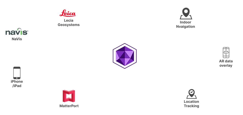
Diagram showing a central purple hexagon connected to icons and text representing NaVis, Leica Geosystems, Indoor Navigation, AR data overlay, Location Tracking, MatterPort, and iPhone/iPad.

Localize against what you own

Already have 3D data? Localize against it. Point a camera at a space you've captured before — with the map tiles, splats, or GIS layers you already own — and MultiSet places the device inside it, in real time. No re-scan.

The data you've been collecting for years becomes a live positioning layer.
Contact Us

No scan? Localize against 3D that already exists

Use the scanner you own — or none at all. Sometimes the map is already out there. MultiSet can localize against private, third-party 3D data that already exists — 3D tiles and geospatial sources — so a device knows where it is in places you never had to capture.

Bring your own scan, or start from the world's existing 3D data. Either way, you're positioned from day one.
Contact Us
Diagram showing a central purple hexagon connected to icons and text representing NaVis, Leica Geosystems, Indoor Navigation, AR data overlay, Location Tracking, MatterPort, and iPhone/iPad.

One Capture, Two Maps

One capture. Two ways to use it. Every MultiSet map is readable two ways at once: a photoreal view your team can see and review, and a machine-readable map your devices, robots, and agents localize against in real time. Capture once. Serve people and machines from the same source of truth.
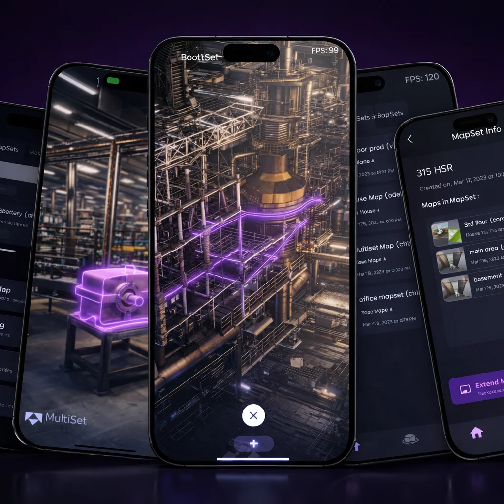

MultiSet iOS Mapper
Scan objects with MultiSet Mapper App, Polycam, Scaniverse or any scanner that outputs GLB &  PLY with textured meshes to MultiSet; Vision Fusion normalizes them into object trackers on one high-fidelity map on a unified coordinate system so teams can use the hardware they already own.
Four smartphones displaying a 3D industrial facility model with interconnected pipes highlighted in purple and dark-themed app interfaces with tools and maps.
Scan-Agnostic Mapping

Use LiDAR, E57, 3DGS, 360 Videos, 3D Tiles, Textured Meshes & More

Bring any reality-capture source. MultiSet’s Vision Fusion pipeline normalises them all, so your teams can focus on building experiences, not data wrangling.

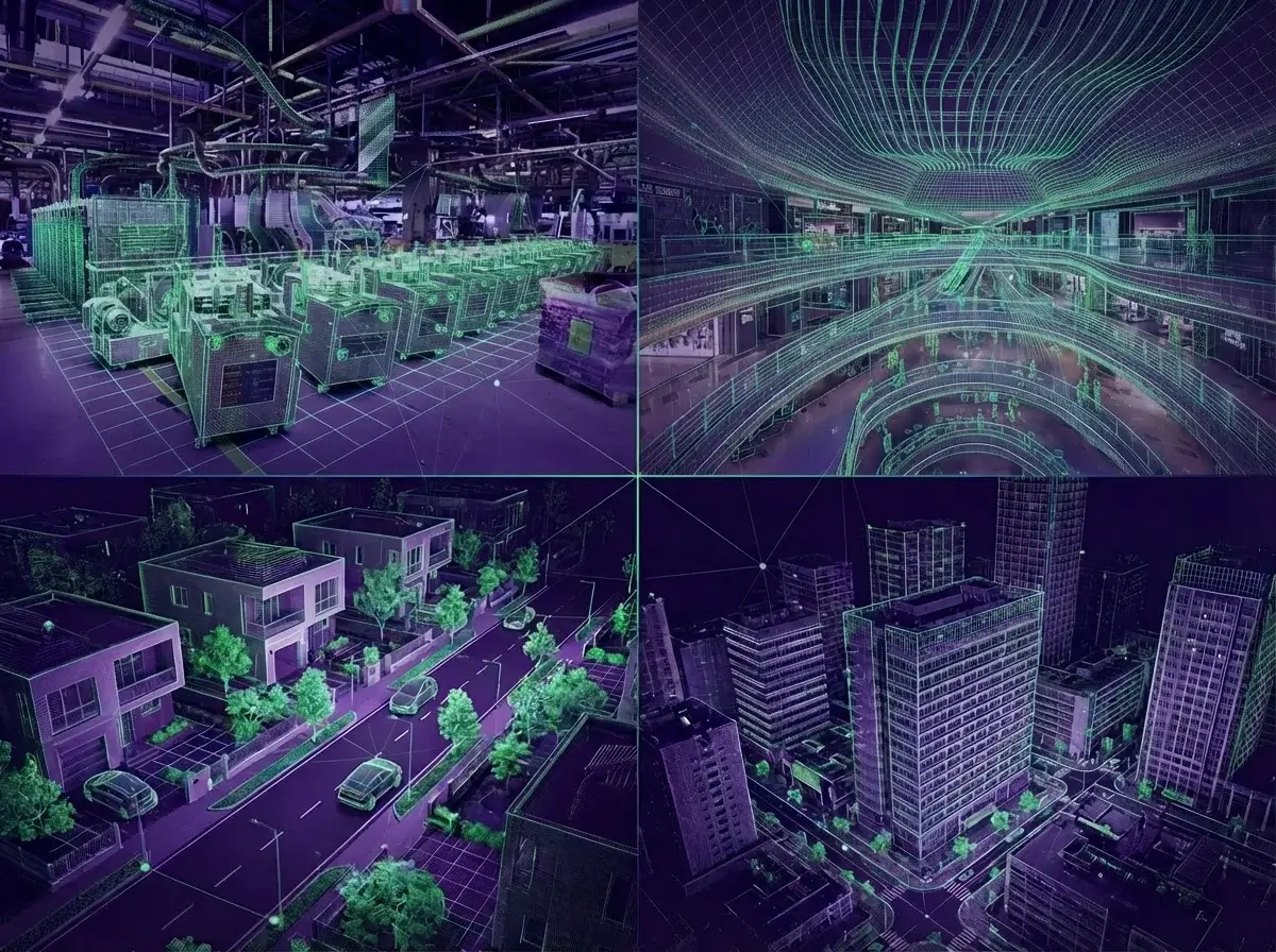
Composite image showing digital wireframe overlays on photos of an industrial facility, shopping mall interior, suburban neighborhood, and urban cityscape.
Accurate mapping across different venues
We fuse raw data coming from LiDAR with camera images to generate  photo-realistic and accurate maps with capabilities of novel view  synthesis that provide accurate and reliable long-term visual  localization.
Download App
Frequently asked questions
What are the steps to map a space using MultiSet AI?

To map a space using MultiSet AI, you can use the MultiSet app on your iPhone Pro or iPad Pro to scan the environment. Alternatively, you can import an existing scan into the platform for further processing and integration. Our platform supports a wide range of devices and scan formats, ensuring flexibility and ease of use for developers. Additionally, our technology supports LiDAR mapping and map stitching, allowing for the creation of detailed 3D spatial maps that can be used for various AR applications.

Can I bring in third-party scans?

Yes, We accept E57 files from providers such as Matterport, Leica, NavVis, XGrids, Faro and more, and we also support Matterport MatterPak files.

How large can one map be before I need MapSet?

A single map performs best up to ≈2,500 m². For larger footprints or multi-floor venues - split capture zones into logical sections and join them in a MapSet to preserve centimetre accuracy and fast look-ups.The MultiSet app can capture up to 5,000 sq ft (≈465 m²) in a single session. Larger areas can be broken into multiple sessions and merged later on the developer platform. For imports, a single E57 file can be as large as 50,000 sq ft (≈4,650 m²), and multiple files can be merged.

How much overlap should adjacent maps have?

We recommend 15 – 20 % visual overlap between neighbouring maps. This gives MapSet enough shared features to compute high-precision transforms and guarantee seamless hand-offs.

Can I update one area without re-mapping the whole venue?

Yes. Re-scan just the affected zone, upload the new fragment, and MapSet automatically realigns it while the rest of the venue stays online - no downtime or full rebuild required.

How do I geo-reference a map for outdoor or mixed-reality use?

Record the WGS-84 latitude, longitude, altitude and compass heading of your origin point, then enter those values in the project’s Geo Reference panel. Devices can then feed GPS or UWB HintPosition data for faster, more accurate localization.

Can I export maps to other spatial tools?

Yes. Maps and MapSets can be exported as OBJ or PLY with embedded transform metadata, letting you reuse geometry in BIM, game engines or digital-twin analytics platforms - no vendor lock-in.

How does MapSet enable large‐scale coverage?

MapSet stitches many smaller scans into one seamless “mega-map.” It preserves the detail of each fragment while providing a single coordinate system, so users experience uninterrupted navigation across rooms, floors and outdoor areas.