Augmented Reality


Mapping technology has evolved rapidly, offering businesses and professionals new ways to visualize and analyze spatial data. Among the latest advancements, flexible mapping solutions stand out for their adaptability and efficiency. These solutions allow users to work seamlessly with various data sources and formats, making them invaluable in many industries. This article explores the key benefits of flexible mapping solutions and how they can transform your approach to spatial data management.
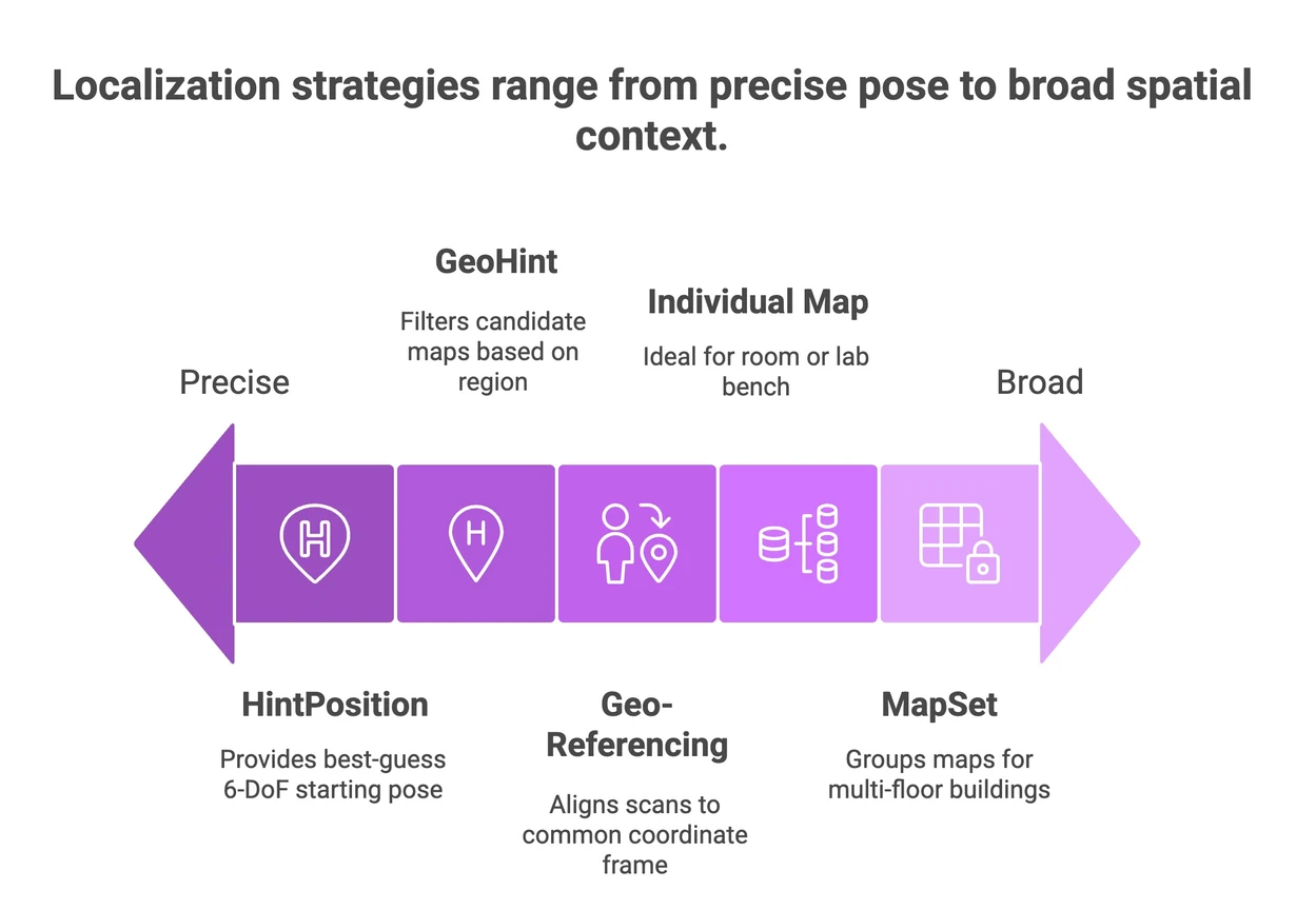
Flexible mapping solutions provide the ability to integrate and process data from multiple sources without being tied to a specific scanning device or format. This flexibility is crucial in today’s fast-paced environment where data comes from diverse technologies such as drones, LiDAR scanners, and photogrammetry.
One major advantage is cost efficiency. Instead of investing in multiple proprietary systems, organizations can use a single flexible platform that supports various input types. This reduces hardware expenses and simplifies training for staff.
Another benefit is improved data accuracy. Flexible solutions often include advanced algorithms that can merge and correct data from different scans, resulting in more precise maps. This is especially important in fields like construction, urban planning, and environmental monitoring where accuracy is critical.

Flexible mapping solutions streamline workflows by allowing users to import, process, and analyze data from multiple scanning devices without compatibility issues. This means teams can collaborate more effectively, sharing data regardless of the equipment used.
For example, a surveyor might use a handheld scanner to capture detailed indoor measurements, while a drone collects outdoor data. A flexible mapping platform can combine these datasets into a single, coherent map, saving time and reducing errors.
Additionally, these solutions often come with user-friendly interfaces and automation features. Tasks like point cloud registration, noise filtering, and 3D model generation can be automated, freeing up valuable time for analysis and decision-making.
Key workflow benefits include:

Flexible mapping solutions are transforming many industries by providing versatile tools that adapt to specific needs. Here are some practical examples:
By adopting scan agnostic mapping solutions, organizations can future-proof their operations, ensuring compatibility with emerging technologies and data formats.

Selecting the best flexible mapping solution depends on your specific requirements. Here are some factors to consider:
Testing different platforms with sample data can help identify the best fit. Many providers offer trial versions or demos to evaluate features and performance.
To get the most out of flexible mapping solutions, consider these actionable recommendations:
By following these steps, you can enhance productivity, reduce costs, and improve the quality of your spatial data projects.
Flexible mapping solutions are revolutionizing how spatial data is collected, processed, and utilized. Their adaptability, efficiency, and accuracy make them indispensable tools across many sectors. Embracing these solutions can lead to better insights, smarter decisions, and more successful projects.